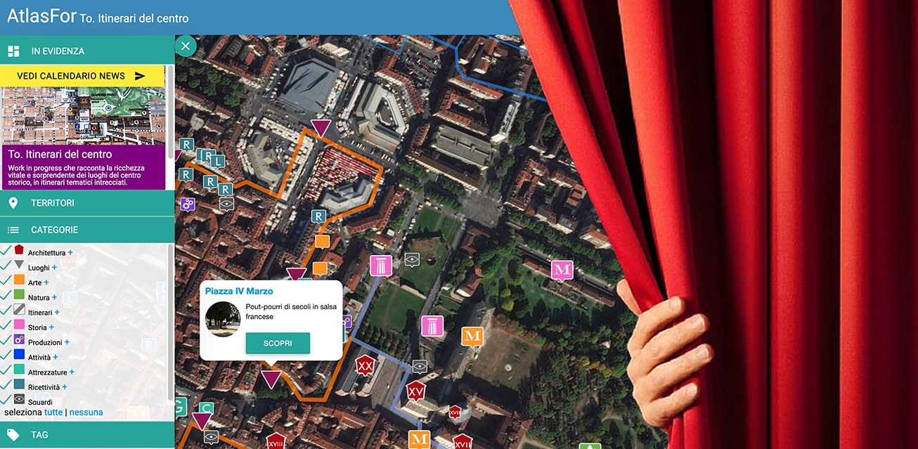
Atlasfor
Enter and discover Atlasfor, a map for recognising and exploring places of cultural and environmental heritage and the ‘active landscape’, offering a showcase of care, presentation and welcome initiatives.
For each asset or activity, a geolocalised card on the map recounts the projects, details, stories and events, through sequences of images and videos with short captions in different languages.
It is a service available to the visitor, who can move around the map finding on his device materials and documents of interesting places and activities in the surroundings. But it also serves the scholar and student, who finds ordered material scattered on the web or in libraries, and who can participate in the editing by adding images, correcting texts, and highlighting unpublished reports.
Look at the landscapes and activities we have narrated, in particular:
Introduction to the Atlas
Watch the tutorial with instructions on how to use our interactive atlas, visit the site and continue to educate yourself by reading our Wiki
Click here and begins a guided tour through the Atlas with a selection of archives: the Atlas of Heritage and Active Landscape (APPA) for Piedmont, Liguria and notable places in the rest of the peninsula, as well as a rich collection of themes: Networks, Heritage, Active Landscape, Construction Sites.
Enjoy exploring!
