
Enhancing and supporting proximity tourism, narrating the territories to enjoy slow tourism, bringing attention to those assets that, to borrow a term much loved by music, we could define as less ‘mainstream’.
This is the commitment that the LandscapeFor cultural association has made, working to produce services to enhance and support projects and activities of socio-cultural interest that use the landscape as a fundamental ingredient, such as Atlasfor.
AtlasFor is our online web-app, which can also be used with smartphones and tablets, with multimedia to illustrate points of interest in the area georeferenced on maps. Through cards, projects and stories, the landscape is narrated in its entirety. An online atlas that narrates the area’s points of interest through images, considering the landscape is our main proposal, aimed above all at land managers.
This directory is available to the visitor, can be implemented, updated and translated. One of our missions, after having dealt with the urban centres of Turin and Genoa, is related to the provincial territory of the Piedmont region.
The project ‘AtlasFor Canavese. Territorio, beni culturali, Paesaggio attivo’ (Territory, Cultural Heritage, Active Landscape) will be presented during an online meeting on 13 May 2021, designed to promote the knowledge and appreciation of the cultural heritage and activities spread throughout the Canavese territory.
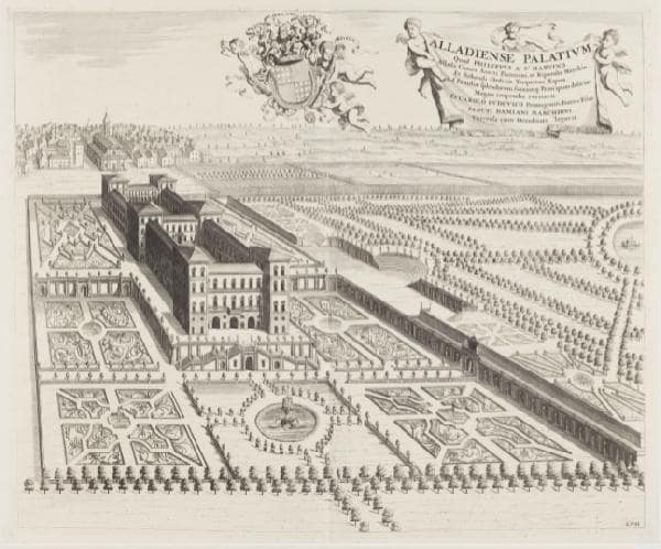
The project, launched thanks to the contribution of Compagnia di San Paolo through the call for proposals ‘Luoghi della Cultura’ (Places of Culture), narrates the area of the Morainic Amphitheatre through about ninety asset and landscape cards, related to about 200 POIs that the Regional Landscape Plan has identified in the area.
The cultural association’s proposal has been extended to the Active Landscape, i.e. those operators, identified by local stakeholders, who give cultural relevance to their own initiatives in the heritage and landscape, accommodation, agricultural and craft enterprises, creating a first order of tales and services for visits, to be enriched with local in-depth studies of the pieces of territory still to be explored: museums, ecomuseums and parks with initiatives of territorial relevance, public or third sector initiatives and practices for the quality of the tangible and intangible landscape, initiatives to enhance assets used for cultural and performing art activities, quality local productions and services.
Never before has it been so vital to think about proximity tourism, a concept that has always been contained in the Landscape For philosophy. The focus on proximity tourism can be the result of mixing cultural criteria with the excellence of the territory.
‘Italy is perhaps the country in the world that can most benefit from the trend of rediscovering proximity tourism. For many reasons, citizens of metropolitan areas are driven to explore the territory within a radius of 100/200 km. to enjoy an immense heritage not only of assets but also of ‘active landscape’, formed by operators who give cultural relevance to their own initiatives in the offer of assets and landscape, in accommodation, in agricultural and craft businesses.’
Paolo Castelnovi, President of the LandscapeFor Association
The presentation on 13 May concerns the description of a first frame that has come to light thanks to the involvement of more than fifteen local administrations and more than twenty active landscape subjects, who are working to have the Atlas implemented with other contributions, so that it will become increasingly useful for the visitor, but also for the municipality that has to adapt the Master Plan to the Landscape Plan.
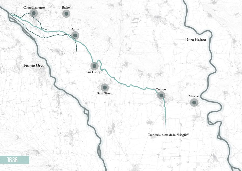
AtlasFor Canavese covers a number of territories chosen on the basis of their proximity to the Ivrea Morainic Amphitheatre, the Via Francigena and the Caluso Canal, thus including part of the Canavese and Eporediese areas. The portions of territory identified, together with their cultural heritage and active landscape, are five:
– the area of the Via Francigena connecting Settimo Vittone to Viverone
– the Via Francigena landscape of the morainic amphitheatre
– the area included between Mazzè and Ivrea
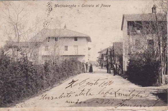
– the area between Castellamonte and Ivrea
– the area around the Caluso Canal
These are all areas located outside the urban centre of Ivrea, which were identified on the basis of the results of the 2021 Regional Landscape Plan, a source that gave us the opportunity to get to know the most important cultural and natural landscape assets and areas.
At the same time, local stakeholders allowed us to get to know the realities of the area that are still invisible to metropolitan centres. The experience with the mapping activity, its systematic implementation and the appropriate selection of the territory’s emergencies thus stem from a careful observation of needs and the intention of enhancing the extraordinary heritage that is still often too little exploited. Involvement with local actors leads to the creation of a network that also involves institutional profiles and that moves in unison to enhance the territory, especially the one that is less proposed in mainstream circuits.
In the reasoning on the territory, there was no lack of questions raised by the pandemic situation. The association therefore developed two further ramifications: firstly, the involvement of museums to create content usable at a distance, such as Nearby Wonders Never Seen, and secondly, a quick and intuitive booking service, easy to manage, adaptable to any activity, from the museum complex to the restaurant.
To support Active Landscape, the #negoziacasa system was proposed, a start-up designed for shopkeepers to network the e-commerce of selected activities. The Active Landscape activities will thus be able to benefit from our online booking and purchasing services.
The aim of the proposal in the territories under consideration is to unite natural, cultural and productive assets with the emergencies of the active landscape, creating a series of routes that can be easily defined by the end users, which will benefit the corresponding socio-economic activities through sustainable development and a restart to create the foundations of a network useful for proximity tourism and the enhancement of our territories.
For those wishing to participate in the AtlasFor Canavese project. Territory, Cultural Heritage, Active Landscape or the conference on 13 May, please contact us at info@landscapefor.eu. Moreover, Atlas also lives on our social networks: we are active on Facebook and Instagram.
So we look forward to meeting you on Thursday 13 May 2021 on our social channels!
